The hidden teeth beneath the ice.
Imagine sharp peaks, jagged ridges, and deep-cut valleys—now bury them under more than a mile of Antarctic ice. Welcome to the Transantarctic Mountains, a ghostly spine that stretches over 2,200 miles across the frozen continent. They are as ancient as they are obscured, forming a kind of geological barricade between two drastically different worlds.
To the east, a billion-year-old craton, stoic and unmoving. To the west, a fractured rift zone, fidgeting and reshaping itself like tectonic origami. These twin personalities of the continent are divided by a rocky backbone, which geologists are only now beginning to decode.
Two researchers, Timothy Paulsen and Jeff Benowitz, have used radar, geophysical surveys, and plain scientific persistence to peer through the ice. Their work has uncovered the long-lost rhythms of a land that no satellite can fully see.
Mountains battered by time
The rocks of the Transantarctic chain are not passive witnesses. They are records of violence, folded and faulted through multiple orogenies, sculpted by wind and ice, then buried again. These peaks have risen and collapsed repeatedly like breathing stone.
The mountain-building events match neatly with shifts in Earth’s tectonic plates. There’s also an intriguing twist: these mountains likely played a role in triggering a planetary glaciation event about 300 million years ago. At that time, Earth resembled a global freezer, and the fresh uplift of these icy sentinels may have helped nucleate the planet’s first continental-scale ice sheets.
The phantom range beneath East Antarctica
What if there’s more?
In the eastern half of the continent, beyond the known mountain range, a second, older chain may lie in wait. Geologists haven’t seen it—not directly. But gravity anomalies, magnetic signatures, and deep crustal echoes suggest something massive and structured is buried deeper still.
This potential range could date back over 500 million years, to a time when life on Earth was just getting complex. If confirmed, it would redefine our understanding of ancient plate configurations, possibly linking Antarctica to long-lost parts of Australia or Africa.
Think of these rocks like cosmic archeology: each layer, each mineral, is a geological fossil—a frozen record of Earth’s most dramatic chapters.
Antarctica as a giant unopened book
What we know today is merely the preface.
Antarctica’s subsurface tells a story of planetary restlessness. A frozen continent, yes—but also a restless one. Underneath the stillness is a narrative written in basalt and quartz, fault lines and folds, shaped by earthquakes, lava flows, and glaciers.
We tend to treat Antarctica as a blank spot on the map, a sterile white smear. But in truth, it is a tectonic battlefield, a memory vault, and perhaps one of the last great geological frontiers.
The tools that pierce the ice
Getting to the bottom of all this—literally—takes more than a pickaxe.
Researchers are now deploying airborne radar, magnetotelluric sensors, and ice-penetrating drones to read what lies beneath. Every signal bounce, every density fluctuation, gives a clue. But interpreting those clues requires petabytes of data and a decade of patience.
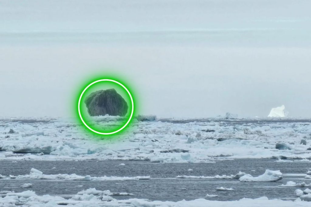
Even with that, direct sampling is rare. Most of these mountains are beyond reach. A few peaks poke through the ice—called nunataks—but the rest remain trapped, unreachable without melting a mile-thick shell.
That’s not happening anytime soon.
A continent that never stopped moving
Geologically, Antarctica is a shape-shifter. It’s been connected to Gondwana, broken off from Australia, collided with proto–South America, and drifted to the South Pole over hundreds of millions of years. The Transantarctic Mountains have been around for most of that ride, rising, collapsing, then rising again.
Even now, tectonic activity hasn’t fully ceased. There are volcanoes under the ice. Rifts still stretch. Pressure still builds. These mountains are not dead—they’re merely frozen.
So the next time you see Antarctica as a smooth white plane, imagine instead a crushed mountain chain, folded into the Earth like a secret. A geological palimpsest. And beneath that, maybe something even older, even stranger—a second range, never touched by sunlight for half a billion years.
Credit:
Source :
Timothy Paulsen, Jeffrey Benowitz, Stuart Thomson, John Encarnación, Anne Grunow, Paul Layer, Maddie Young,
Antarctic Phanerozoic landscape evolution along the Transantarctic basin from thermochronology,
Earth and Planetary Science Letters,
Volume 664,
2025,
119445,
ISSN 0012-821X,
https://doi.org/10.1016/j.epsl.2025.119445.
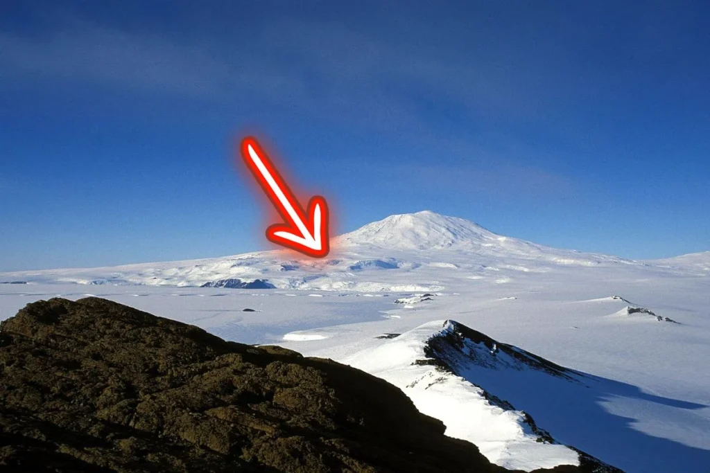
Image: View of Mount Erebus (3,794 m), the most prominent peak of the Transantarctic Range in the Ross region, from the Hut Point Peninsula.